Kautilya

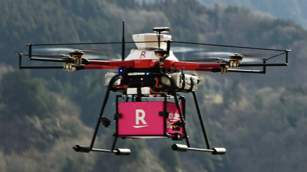
Government of India Announces India’s Airspace Map for Drones Operations

The digital map defines Green, Yellow and Red Zones across the country for drone operations and is available on DGCA’s digital platform https://digitalsky.dgca.gov.in/home. The Green Zone consisting of the airspace up to 400 feet and up to 200 feet above the area located between 8-12 kilometres from the perimeter of an operational airport require no permission for operating drones with an all-up weight upto 500 kgs.

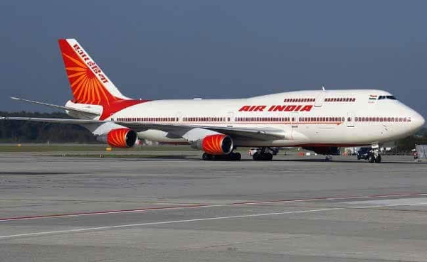
Centre Places Srinagar on International Aviation Map

“This is a historic step both for J&K and its people. Foreign travellers will soon be able to arrive directly in Srinagar,” civil aviation minister Jyotiraditya Scindia said at a joint press conference with J&K lieutenant governor Manoj Sinha. The media interaction followed a detailed review of all aviation matters related to the J&K, by Sinha and Scindia.

Researchers Devise Method to Tackle COVID-19 PPE Waste

Researchers from the Council of Scientific and Industrial Research (CSIR)’s Pune-based National Chemical Laboratory (CSIR-NCL), Reliance Industries Ltd (RIL), and several other companies from Pune have pooled their expertise to manufacture moulded plastic components from COVID-19 PPE waste.