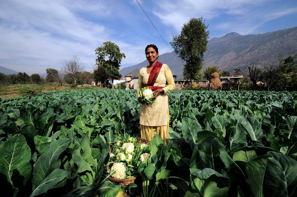
India has generated more than 10.18 crore unique digital Farmer IDs as part of its effort to build an integrated agricultural service-delivery system. As of July 20, 2026, a total of 10,18,40,649 Farmer IDs had been created across 20 states, according to the Ministry of Agriculture and Farmers’ Welfare.
The digital identification system is designed to provide farmers with a unified identity that can be connected with government schemes, agricultural records and support services. States are using Farmer IDs to simplify registrations and benefit delivery under programmes such as the Pradhan Mantri Kisan Samman Nidhi, Pradhan Mantri Fasal Bima Yojana and Minimum Support Price-based procurement.
The IDs can also support access to agricultural credit, farm inputs, technical advisories, disaster-relief assistance and Direct Benefit Transfer schemes. Linking these services through a verified farmer identity is expected to reduce duplication, improve targeting and enable faster delivery of benefits.
Uttar Pradesh recorded the highest number of Farmer IDs at more than 2.43 crore. Maharashtra followed with approximately 1.35 crore IDs, while Madhya Pradesh generated more than 1.13 crore. Rajasthan created over 87.23 lakh IDs, Karnataka over 64.43 lakh and Gujarat more than 62.25 lakh.
Bihar generated over 55.31 lakh Farmer IDs, Andhra Pradesh more than 50.42 lakh and Telangana approximately 50.02 lakh. Kerala had created over 25.57 lakh Farmer IDs as of the reporting date.
Satellite Technology Strengthens Crop Insurance
The Government is also integrating satellite imagery and digital crop-monitoring systems into the Pradhan Mantri Fasal Bima Yojana to improve yield estimation, crop-damage assessment and insurance-claim settlement.
Under the Yield Estimation System based on Technology, satellite remote-sensing information is combined with crop-yield models to produce technology-based yield estimates at the insurance-unit level. These estimates supplement data obtained through conventional Crop Cutting Experiments and help identify localised variations in agricultural productivity.
Satellite-derived vegetation indices are also being used for smart sampling of fields selected for Crop Cutting Experiments. Fields can be identified according to variations in crop health instead of relying entirely on random or manually selected samples. This approach can reduce selection bias and accelerate the collection of crop-yield information.
Time-series satellite imagery provides objective evidence of crop conditions across different stages of the agricultural season. The information can help resolve disagreements between state governments and insurance companies over cultivated area, crop condition and estimated yield, potentially reducing delays in insurance-claim settlements.
Multi-temporal satellite imagery is also being used for rapid assessment of crop losses caused by floods, droughts and extreme weather. Automated workflows under the Krishi Decision Support System allow affected areas to be mapped more rapidly and support faster monitoring of inundation and drought conditions.
Financial Support Expands Agricultural Drone Use
The Government is promoting Kisan Drones through the Sub-Mission on Agricultural Mechanisation. Financial assistance covering up to 50 per cent of the cost is available to agriculture graduates and small and marginal farmers in the northeastern states for purchasing agricultural drones.
Other eligible farmers can receive assistance covering 40 per cent of the cost of a Kisan Drone. Support equivalent to 40 per cent of the cost is also available for establishing Custom Hiring Centres, allowing farmers to access drone services without purchasing the equipment individually.
A total of 2,122 agricultural drones have been distributed or approved under the Sub-Mission on Agricultural Mechanisation. These machines can support crop monitoring, pesticide and nutrient application, field mapping and rapid assessment of agricultural conditions.
Farm Machinery Training and Testing Institutes at Budni in Madhya Pradesh, Hisar in Haryana and Biswanath Chariali in Assam have been approved by the Directorate General of Civil Aviation as Remote Pilot Training Organisations. The institutes have trained 155 drone pilots so far.
Namo Drone Didi Trains Women as Pilots
Agricultural-drone training is also a central component of the Namo Drone Didi Scheme, which provides drones to selected women-led Self-Help Groups.
Members of selected groups undergo a comprehensive 15-day programme covering the operation of agricultural drones and the requirements for obtaining a remote pilot licence. Training is conducted through DGCA-approved Remote Pilot Training Organisations, of which 274 were operating across the country at the time of the government’s reply.
A total of 1,094 drones have been provided to selected women’s Self-Help Groups under the scheme. The programme is intended to create rural livelihood opportunities while making drone-based agricultural services more accessible to local farming communities.
The combination of digital Farmer IDs, satellite-based crop assessment and agricultural drones marks a wider shift towards data-driven farming and technology-enabled delivery of government services. These systems can help create more accurate agricultural records, improve the implementation of welfare schemes and enable quicker responses to crop losses and natural disasters.
The information was provided by Union Minister of State for Agriculture and Farmers’ Welfare Ram Nath Thakur in a written reply in the Rajya Sabha on July 24, 2026.
Source: PIB
You may also like
-
Petronet LNG Plans ₹1,200 Crore Joint Venture for Ten Compressed Biogas Plants Across India
-
India Seeks South Korean Shipbuilding Partnerships as Sarbananda Sonowal Begins Four-Day Visit to Busan
-
Koraput Kalajeera Rice of Odisha: The GI-Tagged Aromatic Heritage of India’s Ancient Rice-Growing Region
-
ICAR Scientists Develop Indigenous Protective Gloves for Cotton Farmers, Sign Commercial Manufacturing Agreement
-
BHEL–Coal India Joint Venture Begins Construction of ₹25,016 Crore Indigenous Coal Gasification Project in Odisha
