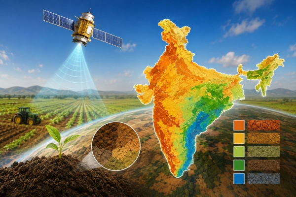
India has developed its first soil texture map using remote-sensing and satellite data, marking an important step towards more data-driven and location-specific farming. The map has been created by the ICAR-National Bureau of Soil Survey and Land Use Planning (NBSS&LUP) and is designed to provide soil information at the hectare level, helping farmers and agricultural planners make better crop-selection and land-management decisions.
The development was highlighted by ICAR Director General Dr M. L. Jat during the 50th Foundation Day of NBSS&LUP in Nagpur on August 23. He said the soil databases and information systems developed by the bureau provide an important foundation for crop improvement, agricultural development and the creation of decision-support systems for Indian farming.
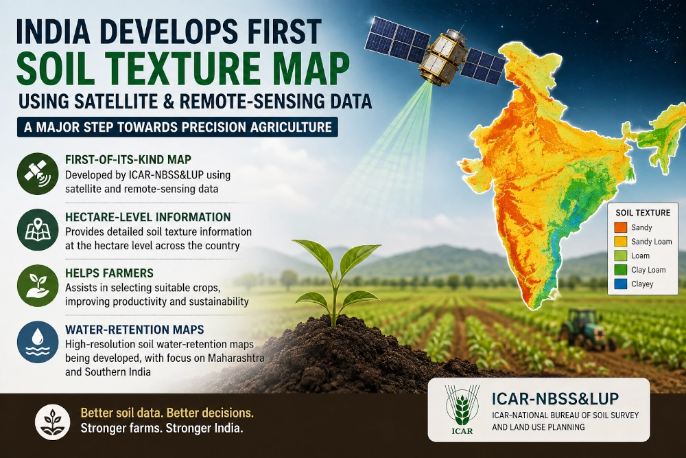
Soil texture describes the relative proportions of sand, silt and clay in the soil and strongly influences characteristics such as drainage, nutrient availability, root development and moisture retention. Access to more detailed spatial information can therefore help identify crops better suited to particular areas instead of relying primarily on broad regional classifications.
NBSS&LUP’s new approach uses satellite observations and remote-sensing techniques to generate much finer information about soil characteristics. According to Akashvani News, the resulting map can provide hectare-level insights, potentially allowing agricultural authorities and farmers to match crop choices more closely with local soil conditions.
The bureau is now extending the effort to another important agricultural parameter: soil-water retention. High-resolution water-retention maps are under development, with particular attention being given to Maharashtra and the southern states. Such information could become especially useful in rain-fed and water-stressed farming areas, where understanding how much moisture different soils can retain can improve irrigation planning and crop selection.
The latest development builds on decades of Indian soil-mapping work. ICAR-NBSS&LUP has previously prepared soil-resource maps at national, state and district scales, while more recent digital initiatives include India’s first 90-metre-resolution digital soil-depth map, developed using 25,683 soil profiles and machine-learning models. The bureau has also established a National Soil Spectral Library containing tens of thousands of geo-tagged soil observations for rapid assessment of soil properties.
The shift towards high-resolution digital soil intelligence could strengthen India’s broader move toward precision agriculture, where crop planning, irrigation, fertiliser application and land management increasingly rely on location-specific information. By combining decades of field-based soil knowledge with satellites, remote sensing and digital modelling, India is building the data infrastructure needed for more efficient and resilient agricultural planning.
You may also like
-
ICAR Scientists Develop Indigenous Protective Gloves for Cotton Farmers, Sign Commercial Manufacturing Agreement
-
BHEL–Coal India Joint Venture Begins Construction of ₹25,016 Crore Indigenous Coal Gasification Project in Odisha
-
PM Modi to Inaugurate RBI’s Tier IV Data Centre and Cybersecurity Training Institute in Bhubaneswar
-
India Creates 11 Crore Digital Farmer IDs Five Months Ahead of Target, Strengthening AgriStack Infrastructure
-
Chak-Hao Black Rice of Manipur and Nagaland: The Aromatic Purple Heritage Grain with GI Recognition
