Kautilya

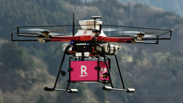
Government of India Announces India’s Airspace Map for Drones Operations

The digital map defines Green, Yellow and Red Zones across the country for drone operations and is available on DGCA’s digital platform https://digitalsky.dgca.gov.in/home. The Green Zone consisting of the airspace up to 400 feet and up to 200 feet above the area located between 8-12 kilometres from the perimeter of an operational airport require no permission for operating drones with an all-up weight upto 500 kgs.

Centre Places Srinagar on International Aviation Map

“This is a historic step both for J&K and its people. Foreign travellers will soon be able to arrive directly in Srinagar,” civil aviation minister Jyotiraditya Scindia said at a joint press conference with J&K lieutenant governor Manoj Sinha. The media interaction followed a detailed review of all aviation matters related to the J&K, by Sinha and Scindia.

India has China On Its Toes As Modi Govt Engages Taiwan To Solve Chip Shortage

Officials in New Delhi and Taipei have met in recent weeks to discuss a deal that would bring a chip plant worth an estimated $7.5 billion to India to supply everything from 5G devices to electric cars, the people said. India is currently studying possible locations with adequate land, water and manpower, while saying it would provide financial support of 50% of capital expenditure from 2023 as well as tax breaks and other incentives, the people said.

Categories