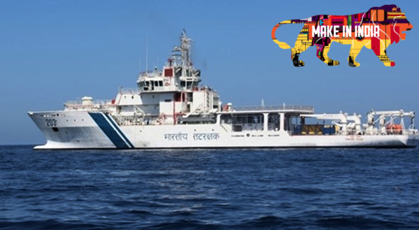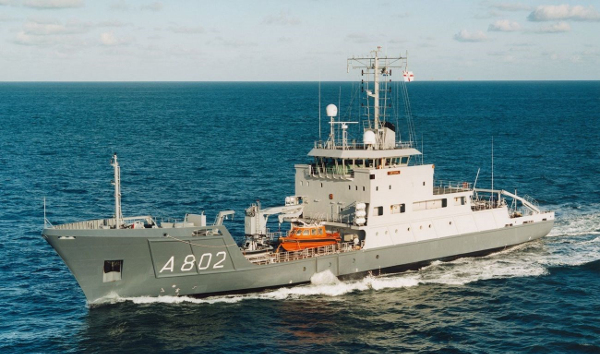
How are Hydrographic Surveys and Nautical Charting done? Know more About Naval Survey Vessels
The digital data recorded by Survey ships and units are put through a rigorous verification for Quality Control before being provided to the Mariners in the form of Nautical Charts. Real-time dissemination of marine safety information is very essential for all ships underway at sea for their route planning. And for this NHO promulgates maritime safety information as Navigational Warnings round the clock through Global Maritime Distress and Safety Services (GMDSS) using International Maritime Satellites.