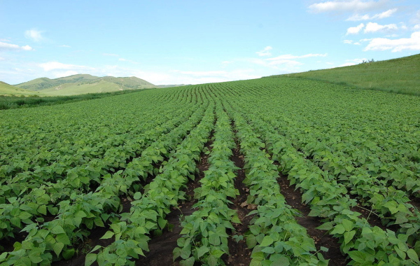
The Dr. P K Mishra Committee was constituted in September, 2013 to review the implementation of crop insurance schemes in India. The Committee submitted its report in May, 2014 recommending the use of satellite remote sensing data for various applications related to yield and crop health estimation for crop insurance. In this regard, several activities have been carried out, such as –
- Use of satellite remote sensing derived yield values for smart sampling and optimization of Crop Cutting Experiments (CCEs) being conducted under Pradhan Mantri Fasal Bima Yojana (PMFBY).
- Use of satellite remote sensing to assess the discrepancy between the actual sown area and the insurance area and compute the Areas Correction Factor (ACF).
- Use of satellite imagery for resolving disputes between the State Governments and Insurance Companies related to crop yield estimates.
- Yield data quality checking using remote sensing.
- Qualitative crop loss and health assessment using satellite remote sensing.
- Use of satellite remote sensing for assessing the areas of preventive sowing or failure of crop emergence.
- Use of long-term satellite remote data for risk assessment which have been used for clustering of districts.
This information was given in a written reply by the Union Minister of Agriculture and Farmers Welfare Shri Narendra Singh Tomar in Rajya Sabha on Friday.
You may also like
-
World’s First-of-Its-Kind Fully Electric Double-Stack Freight Train from India: A World Benchmark
-
Hitachi Energy’s ₹2,000 Crore Transformer Plant: A Big Boost for India’s Expanding Power Grid
-
Indian Army and Airtel Push Mobile Connectivity into Arunachal’s Kameng Frontier
-
India Brings Tunnel Hood Technology to Bullet Train Project for the First Time
-
Zojila Tunnel Breakthrough: India’s Himalayan Lifeline to Ladakh Takes Shape