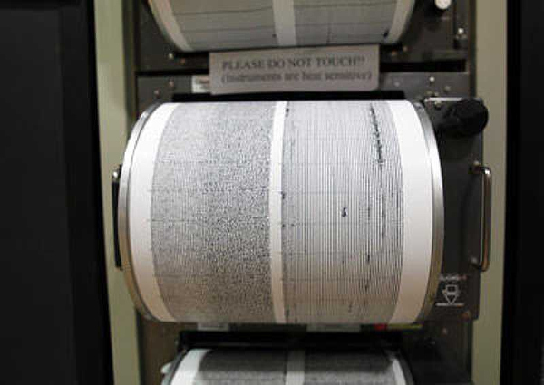
ROORKEE: Scientists at IIT Roorkee claim to have developed an earthquake early warning system that can alert people up to a minute before the quake strikes.
The system, already deployed in some areas of Uttarakhand, consists of a network of sensors that detect different types of seismic waves travelling through the layers of the Earth after a quake.
“Current techniques of earthquake prediction do not really work. People try to predict it using statistical methods, but none of the methods known yet are accurate enough,” Mukat Lal Sharma, a professor at Indian Institute of Technology (IIT) Roorkee, told PTI.
However, the earthquake early warning system can give people a lead time ranging from 10 seconds to a minute.
Sharma said that for a quake originating due to tectonic plate movements in the Himalayan region, people in Dehradun will get a warning 11 seconds before the tremors, while those in New Delhi will have a longer lead time of about a minute.
While this may not be enough to completely evacuate buildings, such warnings can at least allow people to take cover and protect themselves from fatal injuries, Sharma said on the sidelines of the 16th Symposium of Earthquake Engineering held at IIT Roorkee.
Other precautions like switching off nuclear power plants, stopping metro trains, and cutting off gas supply etc, can be taken care of with a minute’s warning.
“We can not save buildings, but perhaps we can save a few more lives,” Sharma said.
“We have deployed over 100 sensors — between Uttarkashi and Chamoli districts of Uttarakhand — which send real time data from various stations to our lab. We are analysing these data in real time and separating the data related to earthquake magnitude,” Sharma said.
“The earthquake warning system will be activated if the tremor has a magnitude of more than 6,” he said.
After conducting the research with the sensors for over two years in Uttarakhand, a system of sirens too have been deployed in the area last year that can alert people up to 200 metres away.
Sharma said that he has approached the National Disaster Management Authority (NDMA), Ministry of Earth Sciences as well as the Ministry of Telecommunications over the last one year or so to deploy the system in other states in North India.
However, he said, he has not received any positive response so far.
For the entire 2,600 km Himalayan zone, there are thirteen states which are at the risk of earthquakes.
A number of research studies, including a recent one from the Jawaharlal Nehru Centre for Advanced Scientific Research in Bengaluru, have warned that the Himalayas are at the risk of an earthquake of the magnitude of 8.5.
Such an earthquake would put at least one million people in the gangetic plains at risk.
Sharma said that the sensors can be deployed on communication towers and the systems to analyse these signals can be placed in existing State Disaster Management Authority (SDMA) offices.
While the sensors, costing Rs 1.5 lakh each, are being currently imported from the US, Sharma’s lab has successfully developed an indigenous version that could be made available for Rs 50,000.
At least 6,000 sensors would be required to set up the system across north India — a region that is at maximum risk of quakes from the Himalayan region.
However, since no major earthquake has yet affected the region since the warning system was deployed, it is not clear how beneficial it will be in a real disaster scenario.
Source: ToI
Image Courtesy: Ed Thelen
You may also like
-
New Heat-Based Approach To Cancer Treatment Can Reduce Chemotherapy Doses
-
Scientists Take A Major Step Towards Unification Of Classical & Quantum Gravity
-
India Graphene Engineering and Innovation Centre (IGEIC) Under the Vision of Viksit Bharat@2047 Launched
-
New High-Performance Gas Sensor can Monitor Low Level Nitrogen Oxides Pollution
-
Antidepressant Drug can be Repurposed for Treating Breast Cancer
