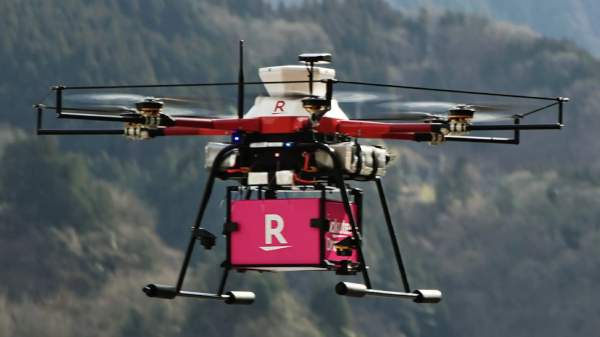
Government of India Announces India’s Airspace Map for Drones Operations
The digital map defines Green, Yellow and Red Zones across the country for drone operations and is available on DGCA’s digital platform https://digitalsky.dgca.gov.in/home. The Green Zone consisting of the airspace up to 400 feet and up to 200 feet above the area located between 8-12 kilometres from the perimeter of an operational airport require no permission for operating drones with an all-up weight upto 500 kgs.
