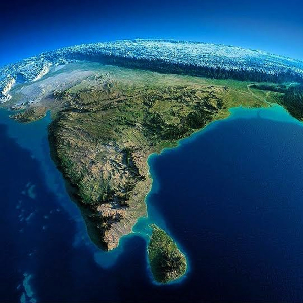
The Survey of India is working on digitally mapping the country over the next two years. These very high-resolution digital maps will be three-dimensional and available for free.
“Currently, we do not have high-resolution digital maps of India. These maps will be far more accurate so governments will be able to plan better. The maps will be available for free to all government departments, and any commercial projects developed using these maps will have to pay a percentage of profits to the Survey of India,” said department of science and technology (DST) secretary Prof Ashutosh Sharma.
Unlike the earlier maps which were prepared with the help of satellite images, these would be created with the help of drones flying at a height of 200-300 metres. “The previous maps were prepared with the help of satellite images taken from the height of a few hundred kilometres above the earth. Compared to that, the level of detailing in drone images is immense,” said DST director and project coordinator SK Sinha.
The project has already taken off in Maharashtra, Karnataka, and Haryana. “The resolution of the map is 5 cm. Which means that one pixel will represent 5 cm on the ground. For accuracy, we need at least two pixels, meaning the accuracy of the map will be 10 cm. This is the requirement of the Revenue Department under the Digital India Land Records Modernisation Programme. The pilot projects in the three states showed that it has been achieved with this technology,” said surveyor general of India Lt Gen Girish Kumar.
However, sensitive areas, such as defence bases, will be omitted from the open maps. Explaining how the maps will be made, Sinha said, “The drones will have sensors with Indian and global reference points programmed into them. So when they take images of the ground, they can tell the exact longitude and latitude of that place. And, these are 3D maps so they will also tell the height with respect to the reference points.”
The highly accurate maps can be used for urban planning and other ground utility projects. “For example, if a panchayat has to make a pond, it will know which are the low lying areas and plan it accordingly to ensure maximum water retention. Or, if they are making a drainage system, they will be able to tell in which direction the slope would need to be,” he said.
The Survey of India will also create maps for various government programmes such as the Namami Gange. “The entire Gangetic basin will be mapped in this way. Not only that, the maps will provide information as to where the polluting agents are coming from, the flow of the river, and the catchment areas. These details can be used to predict the flooding patterns,” said Prof Sharma.
Meanwhile, the DST is also preparing a draft geospatial data policy which puts down in writing who can own geospatial data, how they can use it, and how it can be shared.
“The policy will be put in the public domain for consultation soon. It will set a balance between security and products for advancement,” said Sharma.
Source: HT
Image Courtesy: Colourbox
You may also like
-
Trade Connect E-platform For Exports Is Single Window, Fast, Accessible And Transformational: Shri Piyush Goyal
-
Dot Simplifies Approval Processes For Telecom Licenses And Wireless Equipment
-
Coal Production and Supply Trends on Positive Trajectory
-
Union Minister To Release Booklets On Promotion Of Indigenous Species & Conservation Of States Fishes
-
2nd India-Japan Finance Dialogue held in Tokyo on 6th September, 2024
